Redding Residents Grapple with Fire Insurance Challenges
Redding homeowners are facing escalating fire insurance costs and growing concerns about coverage, according to recent reports. Updated fire hazard severity maps, released by the California Department of Forestry and Fire Protection (CalFire), are contributing to the instability.
Mike Hamers, a resident of a neighborhood off North Market Street, experienced a dramatic increase in his insurance premiums after the devastating 2018 Carr Fire. His insurer initially dropped his coverage before he secured a new policy with premiums that jumped from around $900 annually to roughly $2,400. Hamers lives on Pearl Street, a cul-de-sac overlooking the Salt Creek canyon and North Market Street.
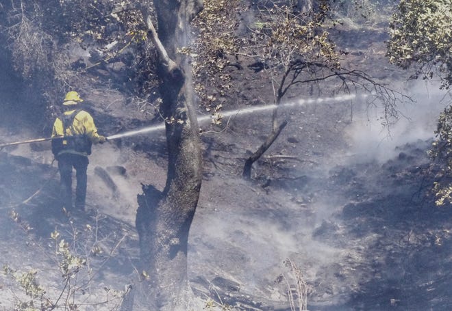
Firefighters battle a blaze in a Redding neighborhood. (June 2023)
The new hazard maps designate Hamers’ neighborhood north of Benton Drive as a “high” fire danger zone. Over the past decade, fires have raced up from the steep canyons below, threatening homes and businesses along Barbara Road. Hamers worries that he may once again lose coverage and face even higher premiums.
“I never thought the day would come that I would have to worry about getting insurance,” said Hamers, who has lived in the neighborhood for 35 years. He and others attribute the coverage issues to their proximity to areas of dense brush and wild grasses.
“Everybody down there is worried about their insurance. That’s all they talk about,” Hamers stated. “And it’s gotten to the point where nobody knows if they’re going to have insurance next year.” He also mentioned that a roofer he knows in Cottonwood saw their insurance premiums double.
The updated fire hazard maps assess conditions like topography and vegetation, differentiating them from “risk,” which considers the actions a property owner takes to mitigate wildfire damage.
The recent maps show an increase in areas designated as “high” or “moderate” hazard compared to the previous versions.
Businesses Also Impacted
The instability in the fire insurance market is affecting businesses as well.
Laura Lawson, whose family owns Premiere Brand Meats in Shasta Lake, had her fire coverage dropped last year. Her business is located in the Shasta Gateway Industrial Park, an area not particularly prone to brush fires. However, according to the new maps, the business is now listed in a “very high” hazard severity zone.
“There’s not a lot of combustibles close to our business. I don’t understand why they would cancel us,” Lawson said.
Insurance Alternatives
Some residents, after losing their fire insurance, have found basic coverage through the statewide Fair Plan, a state-mandated insurer of last resort. Established in 1968, the Fair Plan provides basic fire insurance when traditional companies decline coverage. The state insurance commissioner oversees the Fair Plan, but its day-to-day operations are managed by insurance companies.
Despite efforts to encourage insurers to remain in California, the Fair Plan has seen a surge in policies. The number of residential policies more than doubled between 2020 and 2024, reaching almost 452,000 last year.
Redding Fire Department officials encourage residents to review the new maps and provide feedback. They can be found online.


